
Course
The AAA data model
How much forest area is there in a district? How well is a municipality provided with daycare centers? Where might…
OERCC BY-SA
Open educational resources for all faculties of Ruhr University Bochum.
Advanced search & filters
How much forest area is there in a district? How well is a municipality provided with daycare centers? Where might…
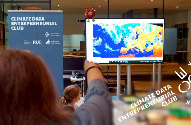
In future, the CDEC website will provide teaching materials and learning modules on the topics of digital, AI and (geo)data…
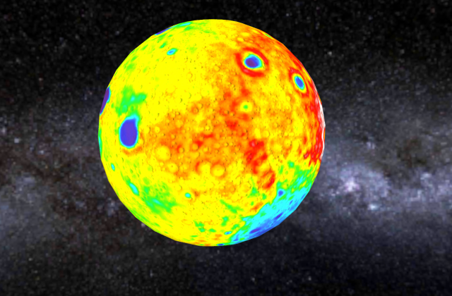
The Columbuseye / LEIA website contains various teaching materials and further background information on the topics of remote sensing, the…
The "Remote Sensing in Schools" (FIS) project is an educational initiative that focuses on the use of remote sensing technologies…

EO College is an educational platform specializing in Earth Observation (EO). It offers a comprehensive range of resources and courses…
The ESERO Germany is a joint project of ESA and the German Aerospace Centre (DLR). The Ruhr-University Bochum and a…
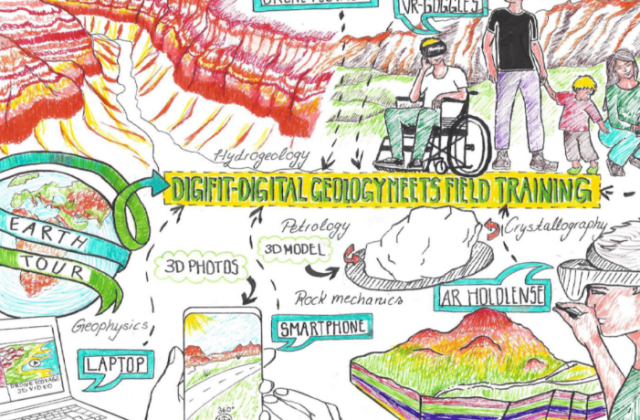
As part of a digitally guided geological mapping as a 360° tour, virtual reality experiences with high-resolution 3D models are…
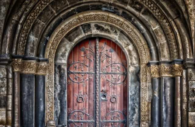
The professor needs your help! Valuable medieval books have disappeared from the library.Are you ready for a journey back in…
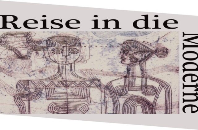
This website aims to bring the movements of travelers into a virtual environment in order to open up German-Turkish-Ottoman history.
This course deals theoretically and practically with virtual reality applications in memorial sites, which are viewed more closely from the…